
Maps
Maps we make.
Each map type answers a different question about a place. Pick a type below to see what it shows, who uses it, and what you get.
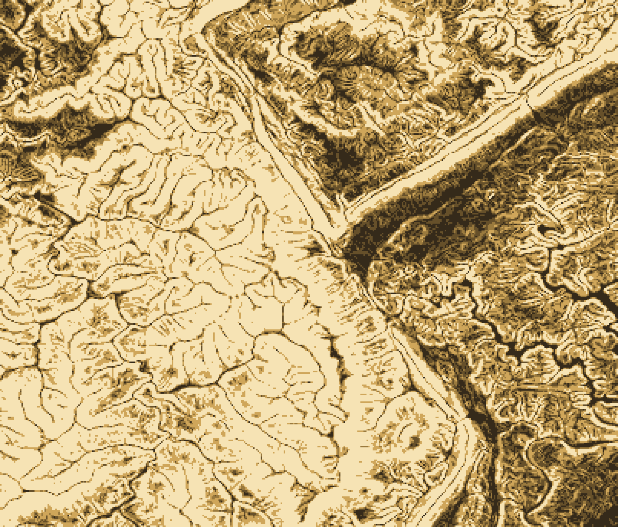
Slope maps
How steep the ground is, cell by cell, from lidar and elevation data. Shows where land is flat enough to build, where grading gets costly, and where erosion is a risk.
Used for
- Site selection and buildable area
- Stormwater and erosion control
- Road, trail and accessible-route grades
You get: Slope raster, slope-class polygons, print maps, area by class
Land cover and change maps
Classified satellite imagery showing forest, water, farmland, built-up land and more, and how each has changed between dates.
Used for
- Habitat and open-space change
- Urban growth and impervious surface
- Baselines for environmental reports
You get: Classified rasters, change maps, area statistics by class and year
Free download: NLCD land cover colours for QGIS, ArcGIS and Earth Engine
Want an example?
Tell us the place and the question, and we'll show you what this map would look like for your area.
Contact PentoGISFlood and heat vulnerability maps
Where flooding and extreme heat hit hardest, combining hazard layers, vegetation and surface temperature indicators, and who lives there.
Used for
- Hazard mitigation and resilience plans
- Grant applications
- Cooling-centre and tree-planting priorities
You get: Hazard and vulnerability layers, priority maps, summary by neighbourhood
Free download: FEMA flood zone colours for QGIS and ArcGIS
Want an example?
Tell us the place and the question, and we'll show you what this map would look like for your area.
Contact PentoGISSite suitability maps
Several criteria scored and weighted into one map, such as slope, zoning, access, utilities and constraints, to rank the best locations.
Used for
- Site selection for development or facilities
- Constraints and zoning review
- Shortlisting parcels before due diligence
You get: Suitability surface, ranked site list, criteria maps and method notes
New to this? Read What is suitability analysis?
Want an example?
Tell us the place and the question, and we'll show you what this map would look like for your area.
Contact PentoGISParcel and zoning maps
Parcels, zoning districts, land use and assets mapped together and kept clean, for staff, boards and the public.
Used for
- Zoning and land use analysis
- Asset inventories and condition maps
- Public-facing municipal maps
You get: Clean parcel and zoning layers, print maps, web map
Free download: LBCS land use colours for QGIS and ArcGIS
Want an example?
Tell us the place and the question, and we'll show you what this map would look like for your area.
Contact PentoGISDemographic and census maps
Census and survey data mapped by tract, block group or custom area: population, income, housing, age and more.
Used for
- Housing need and affordability
- Environmental justice screening
- Market and trade-area profiles
You get: Thematic maps, area profiles, tables and dashboard-ready data
Want an example?
Tell us the place and the question, and we'll show you what this map would look like for your area.
Contact PentoGISTransit access and walkshed maps
How far people can walk or travel along the real street and transit network, and which homes, jobs and services fall within reach.
Used for
- Transit access and walksheds
- Service-area and need mapping
- Corridor and safety analysis
You get: Network service areas, access scores, maps and summary tables
Want an example?
Tell us the place and the question, and we'll show you what this map would look like for your area.
Contact PentoGISWeb maps and story maps
Interactive maps and map-led stories people can open in a browser, from public viewers to field data collection apps.
Used for
- Public engagement and outreach
- ArcGIS Online and Experience Builder apps
- Field Maps and Survey123 workflows
You get: Hosted web map or app, story map, admin guide
Want an example?
Tell us the place and the question, and we'll show you what this map would look like for your area.
Contact PentoGISNeed a different kind of map? Tell us what you're trying to find out.